


Rainbow Hot Springs, Pagosa, Colorado
- Kathleen Stanley

- Jan 8, 2021
- 3 min read
Visit: August 2020
Distance: 10.2 miles
Time: 5hr 15min
Elevation: 8,160 ft
📍 San Juan National Forest
We got to our destination late (rookie mistake of thinking our RV can drive as fast as a car). The trailhead began to the left of the parking lot but we ventured to the right first to admire a roaring waterfall.
The Rainbow Trail
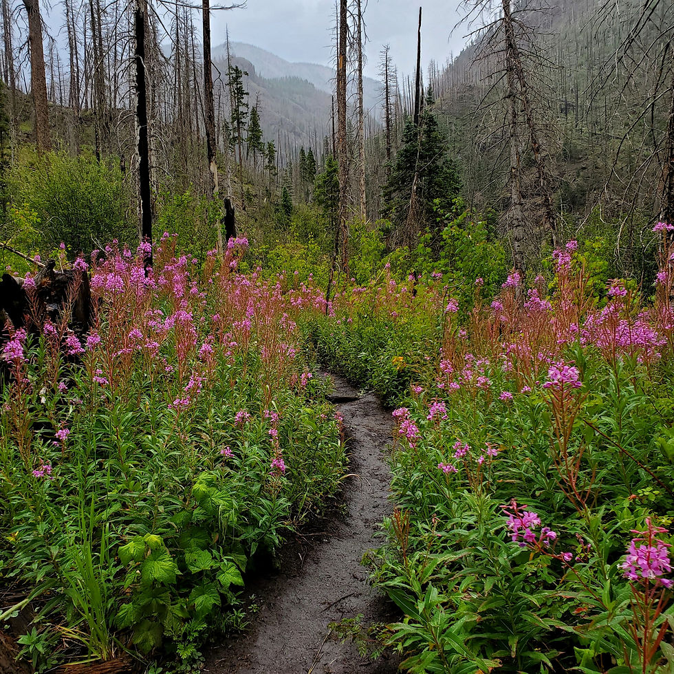
"We were greeted with a field of tall wildflowers reaching our chin at their highest point."
The first 1/2 mile(ish) after the park's wooden Rainbow Trail sign was a steep, calf-burning incline of gravel. At the top of the hill sat a few cabins + a ranch- had we not researched this hike ahead of time we may have turned around at this point! Dozens of private property signs cluttered the area while fencing divided the property from the trail reminding hikers to mind their step.
Not long into the journey we were greeted with a field of tall wildflowers reaching our chin at their highest point. While beautiful to most, my irrational fear of bugs got the best of me as I urged Brent ahead to take the brunt of spider webs + flying insects (ew).

Beyond the field of anxiety began the descent on a dirt trail into a land of colors. Purples, pinks, lavenders, yellows + greens filled the scenic route. A pine forest where wild mushrooms, lush grasses + flowers covered the earth. It was like venturing into an undiscovered majestic world. The rainy mist against the mountainous backdrop produced a dream-like state as the sound of waterfalls played nature's soundtrack in the background.
Nature's Routine
The hike came with steep descents + rock scramble inclines, several river crossings + sometimes confusing switchbacks. We learned to stick to the right at every intersection in hopes to not get lost. We couldn't afford to waste any energy finding the trail again on this treacherous hike.

The trail demanded attention at every turn. A fire in 2013 (likely due to beetle rot... stupid bugs) created obstacles of trees to climb over + under on the 5 mile journey to the hot springs. Even through the blackened pine, we were grateful to be a part of the landscapes history of renewing itself. We crossed the San Juan River at several points + shuffled our way through narrow landslide terrain. A complete washout rimming a cliff forced emergency scenarios to play through our heads.
The Springs
Nearing the Springs was a rocky climb leading to an opening where we saw fire rings left by previous campers + a few backpackers setting up camp. Camping here is on a first come, first serve basis. Another 6 miles up the trail from this point would lead to the Continental Divide.

The 2 hot springs lined with rocks sat adjacent to the icy river. Brent and I skipped over the first + crossed the river to get to the next. The water was about chest deep while sitting + the warmth made our feet sting after the hike.
We soaked for about 15 minutes (with our new friend from Texas) before the sun started to set. With 5 miles of hiking back through the Weminuche Wilderness Area + 1,600 ft of elevation to trek we dried off + started again now with our spongy wet shoes.

Darkness fell leaving the last 2 miles of the trail lit only by our headlamps. As silly as it seems, my now clumsy feet crossing steep drop-offs wasn't as worrisome as the (bug-filled) field of wildflowers that laid ahead.
When we finally hit the gravel hill (of death) our feet were so numb that walking seemed on autopilot. The full moon lit up our white mini-semi (AKA, our no-named RV) as it seemed to be just as excited to see us as we were of it.
Out of our many hiking adventures this one tops our list. I feel a snow-covered trek coming sometime in our future!
Have you had the honor of making it these springs? Has the trail continued to come back to life?
Gear
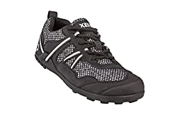
Xero hiking shoes 
Gearhead Head Lamp 
SHEEFLY Quick Dry Microfiber


Comments